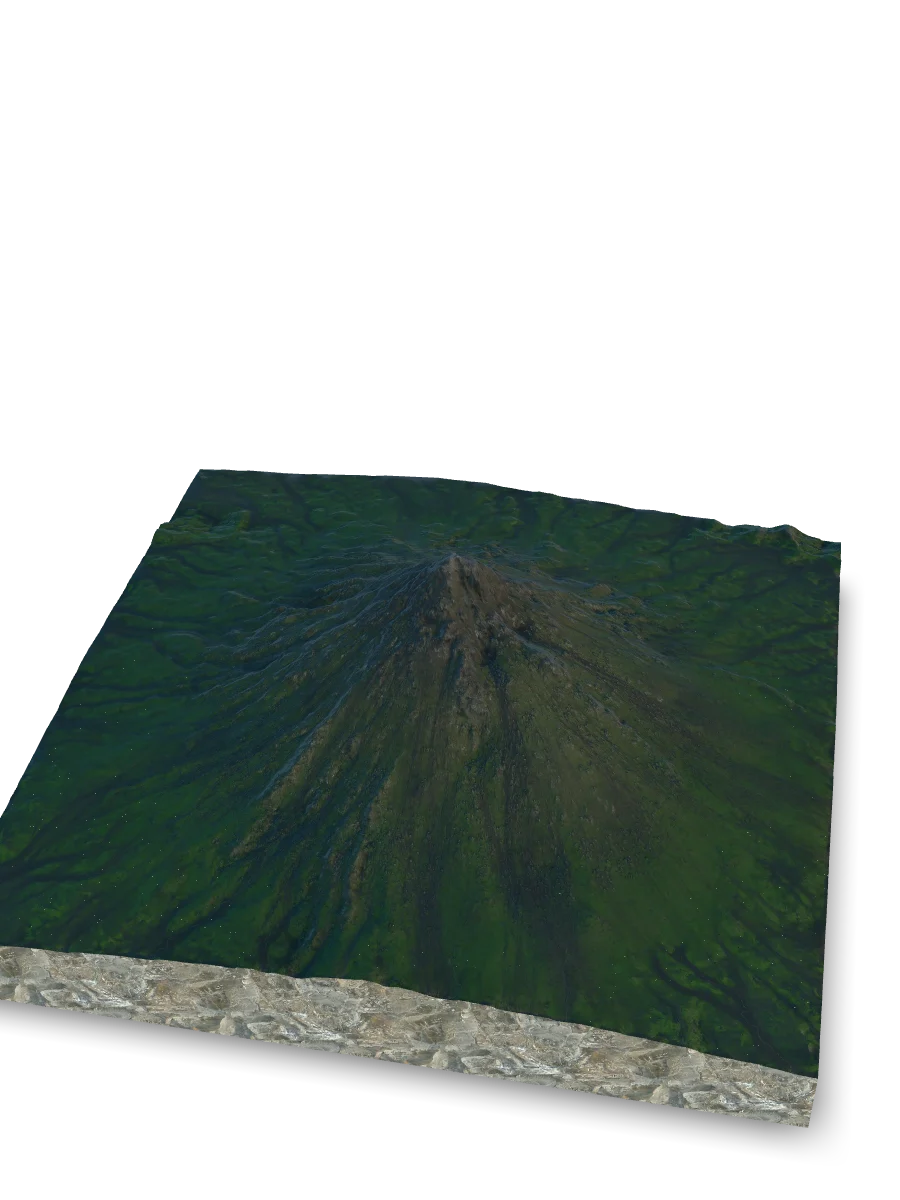
Shape
Stratovolcanoes typically develop prominent cones with steep slopes near their summits and broader lower flanks.
Explore Mayon Volcano, a stratovolcano in Philippines, through a detailed 3D terrain model and learn how stratovolcanoes form, erupt, and change over time.
IDENTITY / LOCATION
Mayon Volcano is a stratovolcano in Philippines.
FORM / GROWTH
Stratovolcanoes are steep-sided volcanic edifices built as repeated eruptions add lava and fragmented rock.
Stratovolcanoes typically develop prominent cones with steep slopes near their summits and broader lower flanks.
Repeated eruptions commonly add lava flows and fragmented material around one or more vents, gradually building the edifice.
Stratovolcanoes can have lava-producing and explosive eruptions. Their behaviour can vary between volcanoes and between eruptions.
Over time: New eruptions can add to the edifice, while erosion, crater change, new vents or flank collapse can reshape it.
ERUPTION MATERIAL
Stratovolcano eruptions can produce several kinds of volcanic material and flows.
Lava is magma that has reached the surface. A lava flow is molten rock moving away from a vent before it cools and solidifies.
Tephra is fragmented material ejected into the air during an eruption; it ranges from fine ash to much larger pieces.
Volcanic gases are dissolved in magma at depth and can separate from it as pressure falls during ascent.
A pyroclastic flow is a fast-moving, ground-hugging mixture of hot gas, ash and volcanic fragments.
BETWEEN ERUPTIONS
Between eruptions, some volcanic systems can continue to transfer heat, fluids and gases beneath the surface.
Volcanic gases can separate from magma and move through fractures, vents or permeable rock.
Where heat, groundwater and permeable rock meet, water can circulate and warm. Hot springs, steaming ground or fumaroles may appear where conditions allow.
Small earthquakes can accompany rock fracturing or the underground movement of magma and fluids.
Changing pressure from magma or fluids can raise, lower or shift parts of the ground surface.
These processes can occur without an eruption following.
VOLCANO MONITORING
Seismometers record earthquakes and other vibrations. Their location, depth and frequency can help reveal processes underground.
GPS instruments and satellite radar can measure small changes in the position and shape of the ground.
Scientists can measure gases such as sulfur dioxide and carbon dioxide to investigate changes in a volcanic system.
Thermal cameras and satellite sensors can detect changes in surface temperature.
A single signal can have several causes, so volcanologists compare multiple measurements before interpreting changes.
The 3D scan captures the shape, but misses the soul.
Upload your memory to preserve the feeling of this place.